|
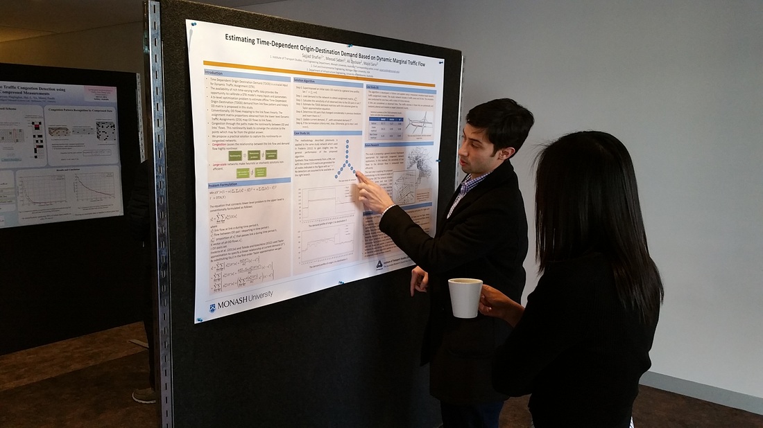
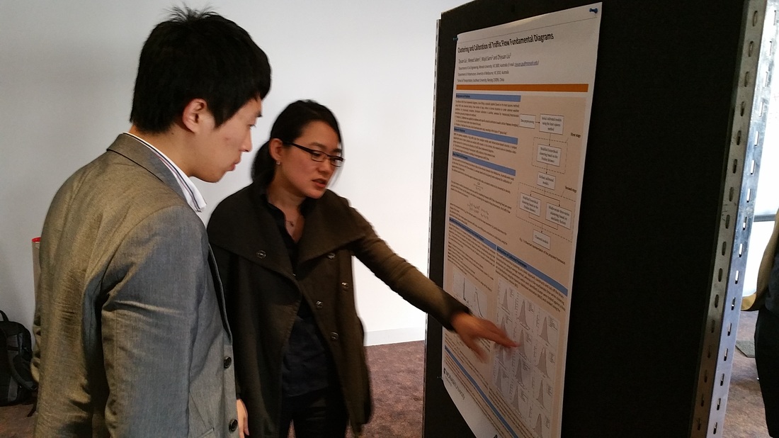
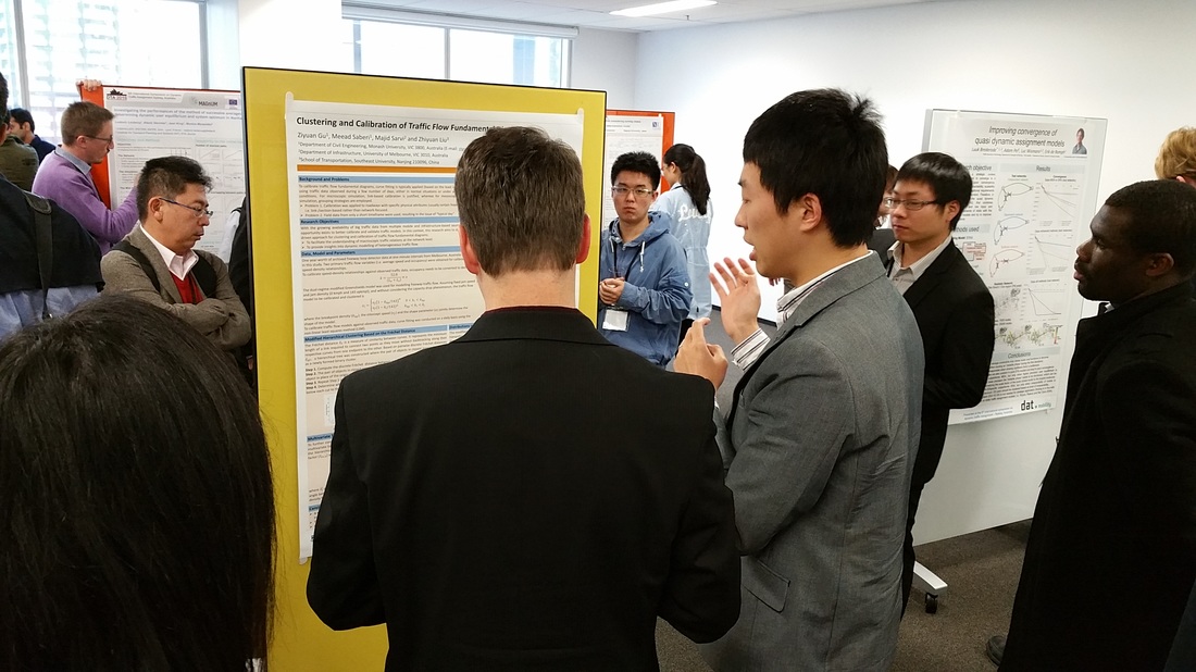
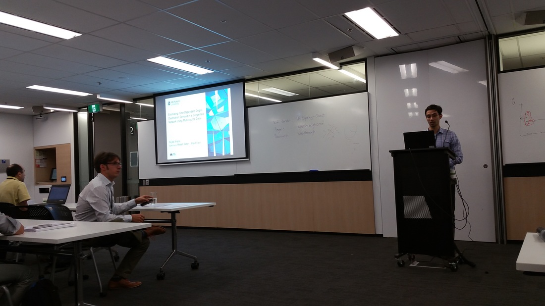
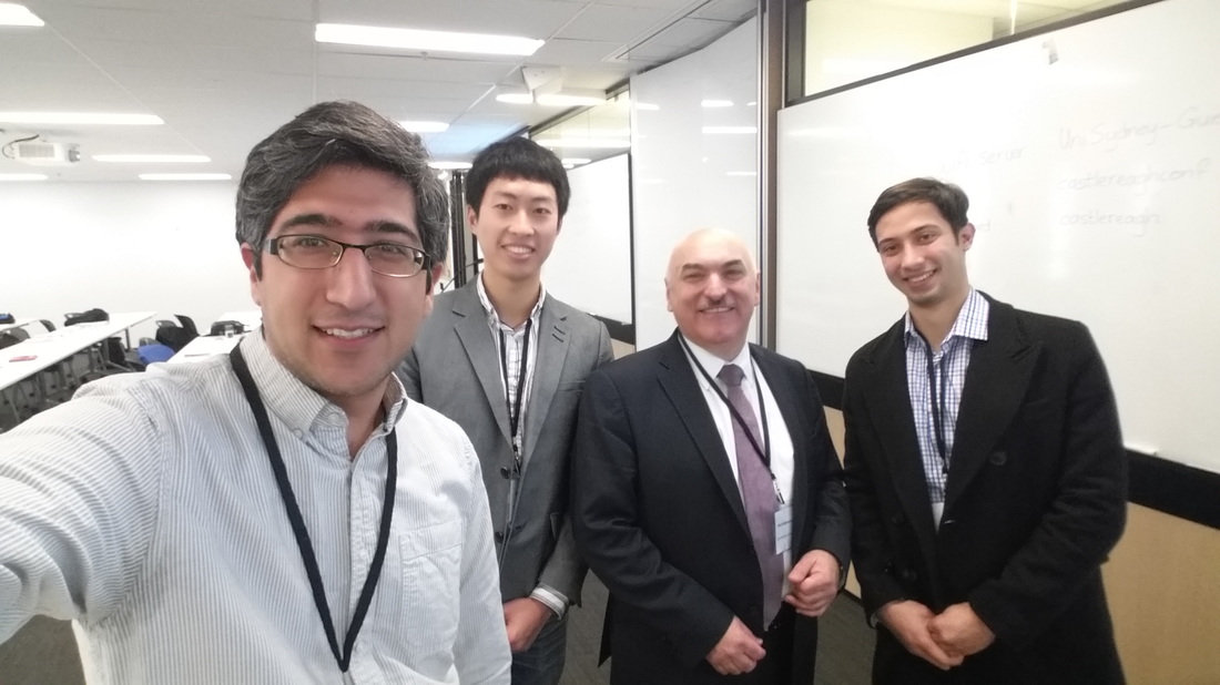
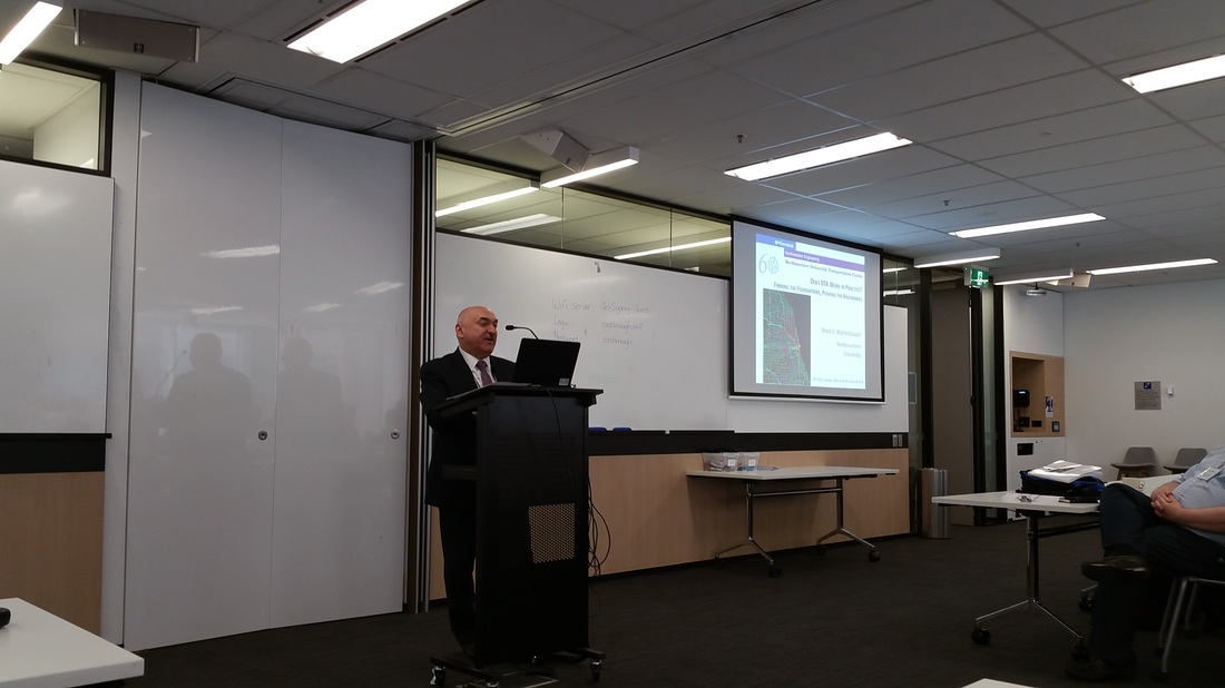
Thanks to PhD students Sajjad Shafiei and Ziyuan Gu for representing CityX at the TRB 96th Annual Meeting, Washington D.C., January 2017. Here are a few pictures from their presentations during this week. 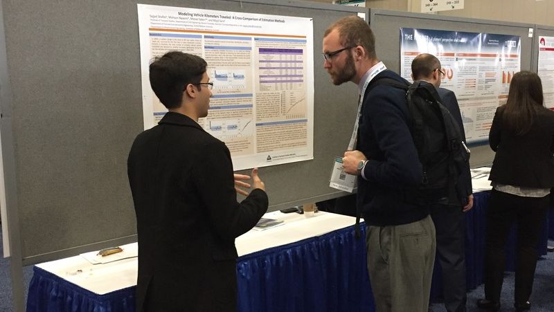 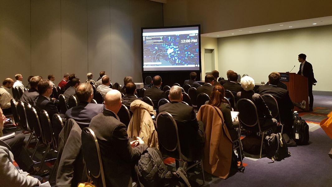 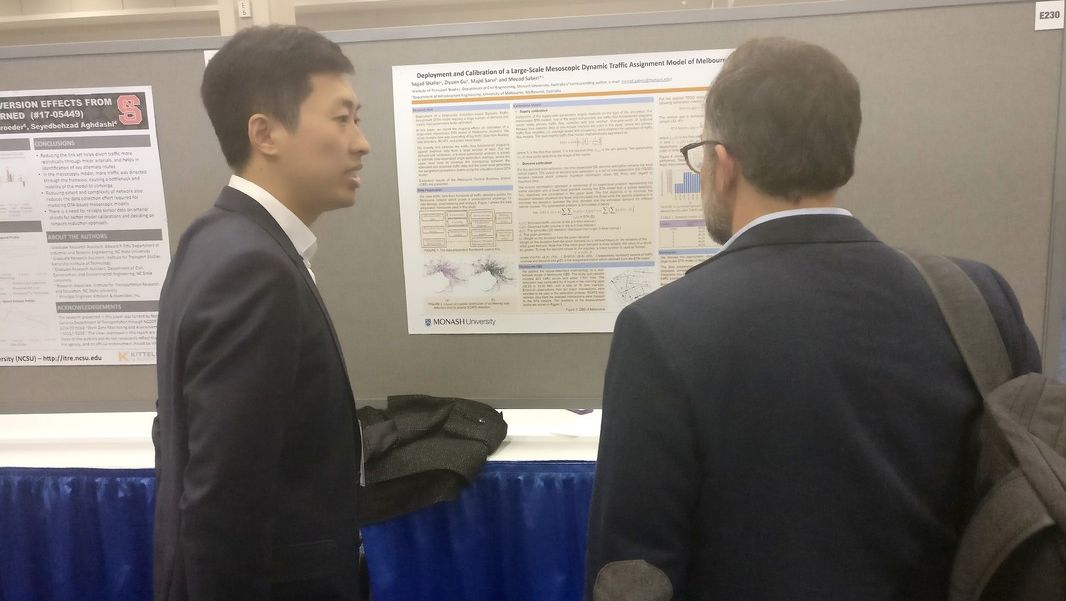
0 Comments
 CityX members will be active presenting their work this week at the 96th TRB Annual Meeting in Washington, DC. Following is a summary of our presentations:
Visualization Lightning Talks Lectern: Mapping pedestrian activities and safety in Melbourne Monday 8:00 AM- 9:45 AM Convention Center, 152A Transportation Planning Applications Poster: Methodological Comparison of Models of Vehicle Kilometers Traveled Wednesday 8:00 AM- 9:45 AM Convention Center, Hall E Transportation Network Modeling Poster: Deployment and Calibration of Large-Scale Mesoscopic Dynamic Traffic Assignment Model of Melbourne, Australia Wednesday 10:15 AM- 12:00 PM Convention Center, Hall E Transportation Demand Forecasting Poster: Travel Demand Model Evaluation: Graph-Theoretic Approach Wednesday 10:15 AM- 12:00 PM Convention Center, Hall E Transportation Demand Forecasting Poster: A Sensitivity-Based Linear Approximation Method to Estimate Time-Dependent Origin-Destination Demand in Congested Networks Wednesday 10:15 AM- 12:00 PM Convention Center, Hall E Bikeshare Experiences from Around the World Poster: Graph Analysis of the Effects of a Public Transportation Disruption on Bikesharing Usage in London Wednesday 10:15 AM- 12:00 PM Convention Center, Hall E Modeling and Control of Multimodal and Pedestrian Systems Lectern: Pedestrian Crowd Dynamics Observed at Merging Sections: The Impact of Different Designs on Movement Efficiency Wednesday 2:30 PM- 4:00 PM Convention Center, 101 The video is made by Visual Domain for the Faculty of IT at Monash University for promotional purposes.  Sajjad Shafiei presented three research papers from CityX members at the IEEE ITSC 2016 held in Rio, November 1-4.
Calibration of Traffic Flow Fundamental Diagrams for Network Simulation Applications: A Two-Stage Clustering Approach Gu, Z., Saberi, M., Sarvi, M., Liu, Z. Abstract. This paper aims to propose a two-stage clustering approach for calibration of traffic flow fundamental diagrams for dynamic traffic assignment (DTA) simulations. Unlike previous research efforts focusing on supervised grouping strategies that are largely dependent on roadway physical attributes, a da-ta-driven perspective is explored using big traffic data. The two-regime modified Greenshields traffic flow model is used to fit the historical observations on a daily basis using the non-linear least squares method. A two-stage clustering ap-proach is proposed based on the calibrated models where the first stage aims to capture day-to-day variations in traffic flow fundamental diagrams while the second stage aims to aggregate links with similar traffic flow characteristics. The standard k-means algorithm is applied in the first stage and a modified hierarchical clustering based on the Fréchet distance is pro-posed in the second stage. The calibrated and clustered results highlight the feasibility and the effectiveness of the proposed approach. Application of an Exact Gradient Method to Estimate Dynamic Origin-Destination Demand for Melbourne Network Shafiei, S., Saberi, M., Sarvi, M. Abstract. The time-dependent origin-destination (TDOD) demand estimation problem aims at estimating dynamic demand that represents the observed traffic flow patterns in a transportation network. Errors in TDOD demand are often propagated into the network outputs causing unreliable planning and operational policies. In this study, a bi-level optimization problem is proposed where the upper level is an Ordinary Least-Squared (OLS) error minimization problem that minimizes the deviation between the estimated and observed traffic volumes from SCATS, while the lower level generates assignment proportions matrix using a mesoscopic simulation-based dynamic user equilibrium model. The interior point conjugate gradient method, as an exact gradient method, is applied to solve the TDOD demand estimation problem. The obtained results highlight the capability of the proposed approach in improving the performance of a dynamic large-scale network model of Melbourne CBD. A Solution to the Road Network Design Problem for Multimodal Flow Asadi, S., Sarvi, M., Rajabifard, A., Thompson, R., Saberi, M. Abstract. Given a set of candidate road projects associated with costs, finding the best subset with respect to a limited budget is known as the discrete network design problem (DNDP). The DNDP is often cast in a bilevel programming problem which is known to be NP-hard. Despite a plethora of research, due to the combinatorial complexity, efforts to address the problem for large-sized networks while considering public transport as well as other modes (multimodal/multiclass traffic flow) are scarce. To this end, we first turn the bilevel problem to a single-level problem based on System-Optimal traffic flow which results in a mixed integer non-linear programming (MINLP) problem. Second, we develop an efficient Benders decomposition algorithm to solve the ensuing MINLP problem. The multiclass/multimodal features of the traffic flow are ensured by employing the Spiess’ bias term and optimal strategy methods. The proposed methodology is applied to Sioux Falls and a real sized network of the city of Winnipeg, Canada. CityX team presents ongoing research at the ITS World Congress 2016, Melbourne, Australia10/15/2016 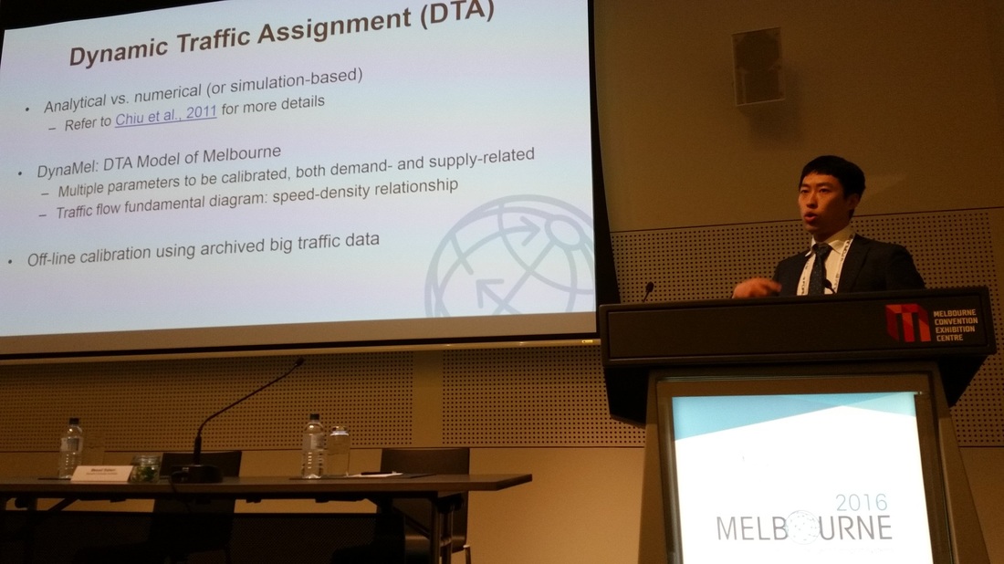 CityX team presented their ongoing work on the Melbourne DTA model and urban big and open data analytics and visualization at the ITS World Congress 2016 in Melbourne, Australia. PhD students Frank Gu and Sajjad Shafiei presented their research on calibration and clustering of traffic flow fundamental diagram and calibration of a large-scale dynamic traffic assignment model of Melbourne. Dr. Saberi also presented some of the past projects on visualization of open data from Melbourne, Australia.
 Dr. Saberi was invited to deliver a guest lecture at an intensive postgraduate unit on Urban Informatics at the University of Melbourne. As part of the lecture, he presented three of the recent projects developed by the CityX team: Changing Melbourne 2.0, Places by Metro, and Melbourne Pedestrian Activities and Safety. "Urban Informatics is the study of cities using digital data, information, knowledge and models to understand trends, complexities and inform the formulation and evaluation of sustainable urban futures. This subject aims to arm the student with the necessary fundamental concepts and practical understanding of the rise of the Smart City and how urban informatics can assist in evidenced-based and collaborative decision-making. This subject utilizes the Australian Urban Research Infrastructure Network (AURIN) portal as an e-learning resource for exploring what is possible in emerging in the new discipline of urban informatics. Students will also be exposed to a range of other complementary digital environments including open data repositories, urban modeling and visualization tools and open source geospatial information technologies." - ABPL90366 Urban Informatics Unit Guide, University of Melbourne. 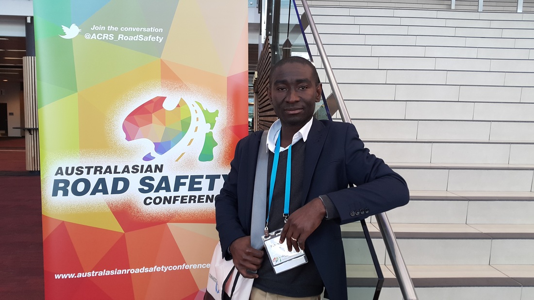 Richard Amoh-Gyimah presented his research on Modelling Crash Unobserved Heterogeneity Using Semi-Parametric Geographically Weighted Poisson Regression at the Australian Road Safety Conference (ARSC2016) held in Canberra, 6-8 September, 2016.
Abstract. Crash data are typically collected with reference to location dimension. Such data suffer from unobserved heterogeneity. The objective of this research is twofold: (1) to develop zonal crash prediction models using the Semi-Parametric Geographically Weighted Poisson Regression (S- GWPR) to address the issue of unobserved heterogeneity and (2) compare the performance of the S- GWPR with a non-spatial negative binomial (NB) model. The result indicates that by accounting for unobserved heterogeneity, the S-GWPR models performed better than the NB models. It was also found that unlike the NB models that show fixed parameters, all the variables except three have spatially varying coefficients in the S-GWPR. Congratulations to PhD students Frank Gu and Sajjad Shafiei for acceptance of their papers for presentation at the IEEE ITSC 2016 which will be held in Rio, Brazil in November 2016.
Gu, Z., Saberi, M., Sarvi, M., Liu, Z. (2016) Calibration of Traffic Flow Fundamental Diagrams for Network Simulation Applications: A Two-Stage Clustering Approach. The 19th International IEEE Conference on Intelligent Transportation Systems (ITSC), Rio de Janeiro, November 1-4, 2016. Shafiei, S., Saberi, M., Sarvi M. (2016) Application of an Exact Gradient Method to Estimate Dynamic Origin-Destination Demand for Melbourne Network. The 19th International IEEE Conference on Intelligent Transportation Systems (ITSC), Rio de Janeiro, November 1-4, 2016. 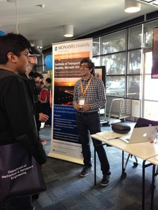 Monash University Open Day was held on Sunday 7/8/2016. We at the Institute of Transport Studies among many other departments and institutes had a table to showcase some of our research and education programs to prospective students. We brought our Virtual Reality gear for visitors to try on and explore this fast emerging technology. Applications of VR in transportation include but not limited to simulating user (driver/cyclist/pedestrians) behavior, testing individual's reaction to different scenarios in a virtual environment like exit choice during an emergency, etc. We welcome both undergraduate and graduate students to join us at CityX to explore exciting transportation research areas that VR can contribute to.
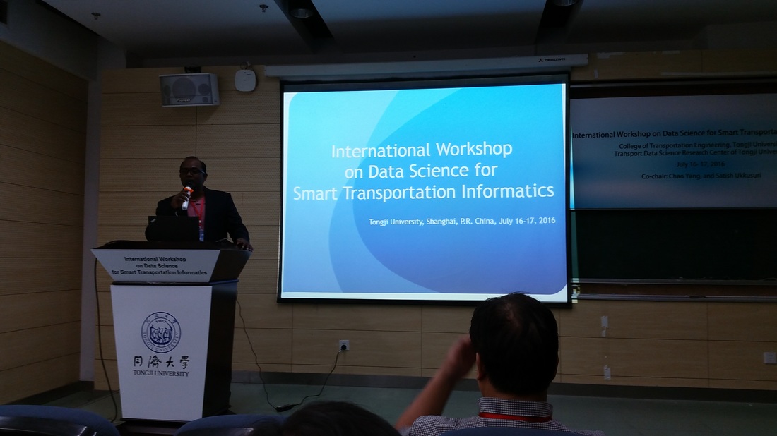
Workshop on Data Science and Smart Transportation Informatics, Tongji University, Shanghai, China7/21/2016 Dr. Meead Saberi was invited as a speaker at the International Workshop on Data Science and Smart Transportation Informatics at Tongji University, Shanghai, China. The workshop was co-chaired by Prof. Chao Yang and Prof. Satish Ukkusuri. The workshop aimed to explore a multidisciplinary perspective to big data science in urban transportation. As part of the program, Dr. Saberi gave a talk on "Data-Driven Smart Cities: Urban Revival Through Big and Open Data Visualization and Spatio-Temporal Analytics". Special thanks to Chao and his colleagues at Tongji University for their great hospitality.
On July 2-3, 2016, we hosted the Traffic Flow Theory and Characteristics Committee Midyear Meeting (TFT2016) in Sydney. PhD students, Sajjad Shafiei and Frank Gu, presented their PhD research progress in a poster session. Also, Dr. Meead Saberi co-presented with Dr. Jiwon Kim on clustering pedestrian trajectories to identify self-organized lanes. The symposium was a great opportunity to meet with the traffic flow theory research community.
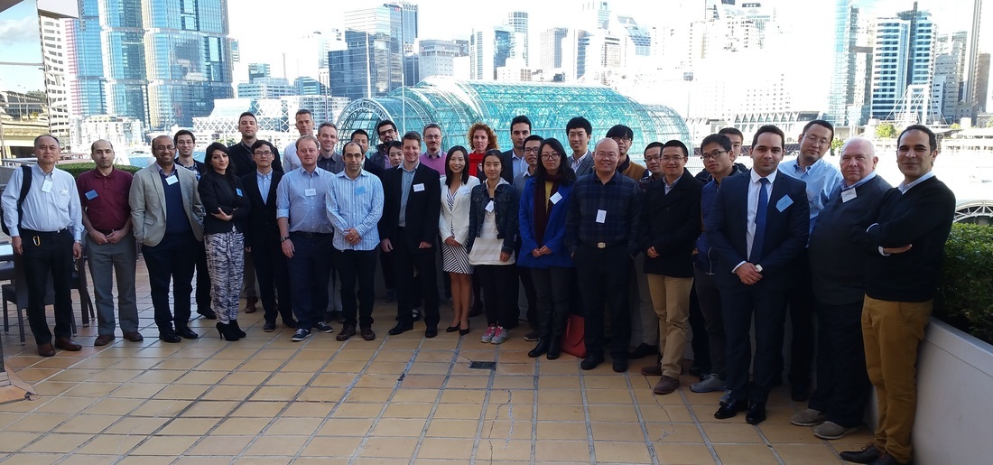 CityX lab members participated and presented at the 6th International Symposium on Dynamic Traffic Assignment (DTA2016) held in Sydney, 28-30 June. Sajjad Shafiei gave a talk on his ongoing research on time-dependent origin-destination demand estimation in large-scale congested networks and Frank Gu presented a poster on clustering and calibration of traffic flow fundamental diagrams for network simulation applications. Kudos to the organizers of the symposium for their great job. The symposium was indeed a success and provided a great opportunity to network with many eminent scholars in the field of network modeling. Looking forward to DTA2018 in Hong Kong.
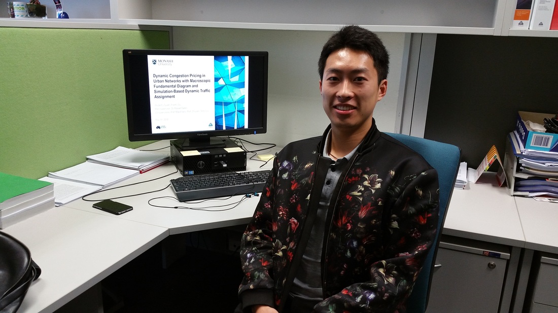 Congratulations to Frank for successfully passing his PhD confirmation on "Dynamic Congestion Pricing with MFD and Simulation-based DTA". Frank started his PhD at Monash University in 2015 under supervision of Dr. Meead Saberi, Prof. Majid Sarvi and Prof. Zhiyuan (Terry) Liu. He received his Bachelor’s degree in Civil Engineering from Nanjing Tech University, China in 2012 and his Master’s degree in transportation engineering from SEU-Monash Joint Graduate School in China in 2013.
Abstract: Supply-oriented development of urban transportation, i.e. by road capacity expansion through large-scale construction, has been the traditional way of alleviating urban traffic congestion. However, due to limited urban space, this is not a sustainable solution anymore. Rather, demand-oriented techniques should be pursued, among which congestion pricing has been widely advocated as an effective tool in dealing with traffic congestion. An innovative solution has recently been introduced by combing congestion pricing with macroscopic traffic flow models, i.e. congestion pricing based on network fundamental diagram (NFD) or macroscopic fundamental diagram (MFD). To better reflect traffic dynamics, the broad aim of this research is to develop an optimal MFD-based congestion pricing scheme using simulation-based dynamic traffic assignment (DTA) for a large-scale real-world network (Melbourne). 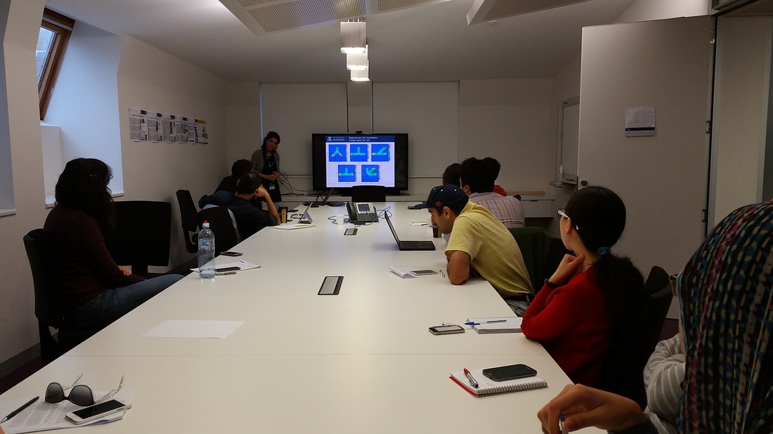 Zahra Shahhosseini is a PhD student at The University of Melbourne whom I have been co-supervising with Prof. Majid Sarvi since 2014. Her research includes studying and modeling dynamics of pedestrian crowds under panic. Zahra presented her research progress on the Impact of Conflicting Architectural Designs on Crowd Dynamics at the transportation seminar at The University of Melbourne.
Abstract: The need for developing reliable models for making simulated predictions of crowd evacuations has necessitated understanding of fundamental rules that govern human behavior during emergency escapes. One major challenge to address this particular problem, however, has been the lack of experimental data of panicked humans in which speeds and desire to flee are taken to extremes. This presentation reports on a research study with ultimate aim of developing such forecast tools which is capable of capturing human interactions with physically or psychologically complex environmental settings based on concrete empirical evidence. In this study, we utilize two types of empirical data, one obtained from experiments with biological entities and the other from experiments with human. This presentation will report on the findings corresponding to the understanding of the impact of conflicting geometries (i.e. merging sections) on human and non-human entities collective movements based on macroscopic level analyses of the data derived from those experiments.
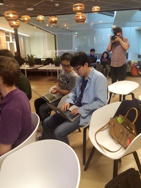
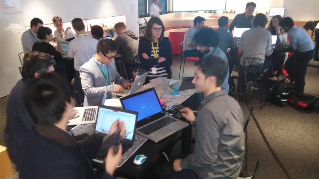
Last few weeks have been a busy data hack time for us. Julian, Bryan and Emily participated in the Melbourne Datathon 2016. The team city science is now in the list of the top 5 finalists. This time we are focusing on the employment data across Australia, visualizing data on number, variety and popularity of jobs in urban areas. See a demo of the project here: http://www.jmily.net/datathon2016/web/ 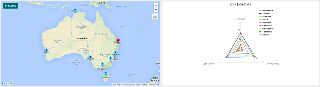 CityX team participated at the ARUP Open Data House as part of the Melbourne Knowledge Week 2016. Arup and a select group of data providers opened up a curated set of rarely seen transport and urban data from Melbourne. Data scientists, city and transport planners, and designers were invited to analyse and help solve a critical urban problem using these exciting data sets.
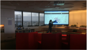
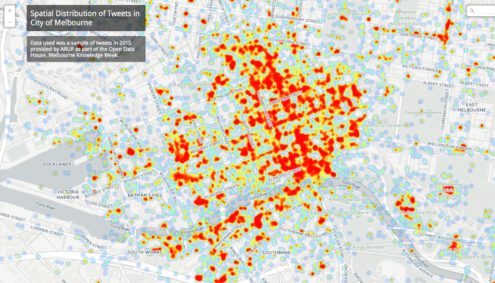
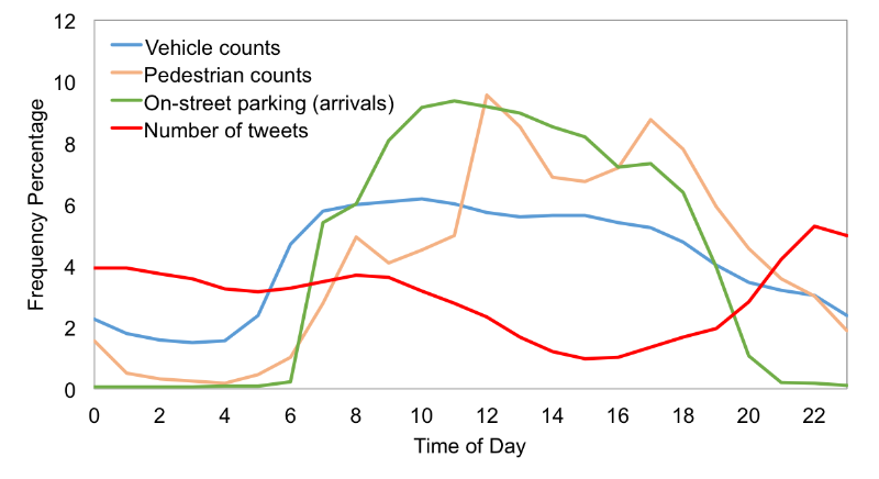
We were invited to present some of our previous data visualizations to inspire participants for a productive afternoon. Later, we also participated in the competition with a project looking at "How do people use the city? Comparing temporal variation of pedestrian activities, on-street parking usage, traffic volumes, and tweets in Melbourne." We put together an imperfect comparative analysis of time-series data from tens of pedestrian count sensors (1.1M+ rows), thousands of in-ground parking bay sensors (1M+ rows), traffic counts from several bluetooth detectors (2M+ rows), and thousands of tweets from Twitter (250K+). The map on the cover shows the spatial distribution of tweets in City of Melbourne. The goal was to better understand how people use the city over time of day using available open data. We were specifically interested to find whether there is any correlation between the temporal variation of some of the data we had. In 2-3 hours, we put together a simple analysis and here are our findings.
Pedestrian activities in the city do not seem to have a strong correlation with vehicle counts and on-street parking usage during the day. While distribution of vehicle counts is decreasing with a small slope from 7 am to 5 pm, pedestrian activities are increasing with three sharp peaks at 8 am, 12 pm, and 5 pm. This is probably due to the fact that a large fraction of people traveling to CBD use public transport.
Special thanks to Bryan, Sajjad, Frank, and Domenico. We are seeking highly motivated and talented applicants contributing to our growing multidisciplinary research in transportation engineering. Applicants should hold a Master's degree in Civil Engineering, Electrical Engineering, Computer Science, Information Technology, Operations Research, Applied Mathematics, or Physics and should be interested in transportation systems research. Preferred background and experience include traffic modeling, transportation network modeling, stochastic analysis, optimization, machine learning, and big data. A summary of the project description is provided below. Potential applicants are encouraged to contact Dr. Meead Saberi, submitting their complete CV and contact information for three references. The position is available immediately. The call for applications will remain open until the position is filled. The PhD scholarship is provided by NICTA.
Project Summary Urbanization and recent wide-spread advancements of information and communication technologies have transformed cities into pools of big data, providing new opportunities to unravel hidden patterns in urban life. However, using big data to generate "smarter cities" relies on the methodological capacity to render the masses of data into meaningful and, most importantly, useful information. Government organisations that manage and operate transport networks have a critical need for reliable and accurate traffic estimation and prediction tools. This project aims to develop a framework to integrate multiple data sources including traffic, weather, crashes, work zones, special events, and social media for a better predictive modelling of traffic congestion at the network level. The new modelling approach takes advantage of machine learning and big data analytics considering spatial and temporal interdependencies of traffic condition in a large-scale network. Results are expected to help government agencies to better predict traffic congestion and thus, manage the transport network more effectively. Monash Supervisors Dr. Meead Saberi (Faculty of Engineering, Monash University) Dr. Mohsen Ramezani (Faculty of Engineering, Monash University) NICTA Supervisor Dr. Goce Ristanoski We are seeking to appoint a software engineer with expertise in C++ programming. The position is casual/ hourly basis and is expected to continue for 6 months. The programmer will be developing a simulation model of passengers' movements in a train station using an already developed open source tool PEDSIM (pedsim.silmaril.org). This will involve extensive programming in C++.
The position will be based in the Department of Civil Engineering and will involve interaction with the other collaborators from Institute of Railway Technology and the Department of Design at Monash University. You will work closely with Dr Meead Saberi and the research team. To be successful you must have a Bachelor or Master's degree in software engineering, information technology or a relevant field and will possess sound interpersonal skills, along with excellent written and oral communication abilities. You must have solid experience and proven skills in C++. If you believe you fit this profile, we look forward to receiving your application. To apply, please email your full CV including your previous experience in C++ programming to [email protected]. 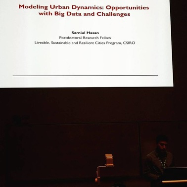 Talk Abstract: Big data sources such as smartphones, mobile devices, social media and ubiquitous sensors allow us to collect data with details and coverage unimaginable before. These datasets show us the importance of considering dynamics in urban modeling. Transportation systems research can exploit these vast data sources to a great extent. The overarching goal of this work is to develop data analytics to understand urban dynamics and user behavior using geo-located social media data. Novel statistical estimation techniques are developed to understand the spatiotemporal patterns of urban activities based on more than half a million Foursquare check-ins of about 20,000 users from New York City. A novel method is developed to infer activity type, its duration and location, and the sequence of the activities from incomplete trajectory data. When aggregated these activity-location sequences indicate the travel demand within a region. The potential of geo-location data to derive dynamic traffic patterns is demonstrated by building an agent-based simulation model. Potential applications of these techniques to a number of urban systems science challenges are also outlined.
|
AuthorDr. Meead Saberi, lecturer in transportation engineering, data guru, and urban scientist Archives
May 2019
Categories |

 RSS Feed